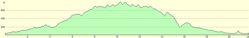
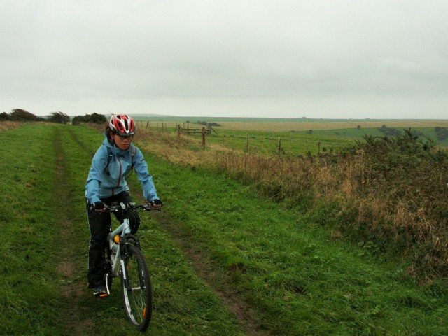
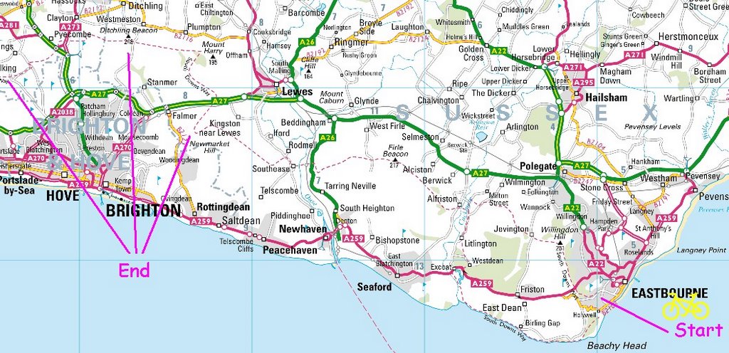
We went cycling at Friston Forest yesterday. The forest contains numerous opportunities to tackle large climbs (50-100 meter of death defying steepness). We took the train to
Seaford and arrived at about 2pm. We didn't have much light left (we should have started in the morning) hence the decision to only do a loop of Friston Forest.
For anyone thinking of getting down to Friston Forest, head down to the promenade from Seaford station and cycle eastwards, then turn left into Cliff Grons (
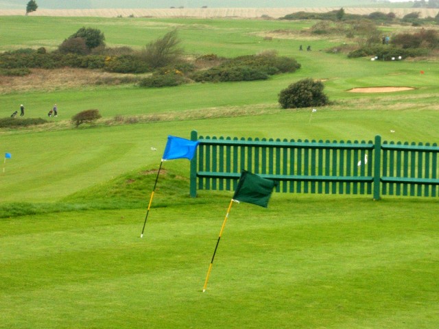
National Cycle Network 2). Cycle straight up onto Corsica Road, before turning left into Southdown Road. Next, turn into Chyngton Road/Chyngton Way and cycle up to until the end of the road (about 1/2 mile). There is a golf course on the right. Turn left into Chyngton Lane, a rough byway, until you reach the narrow A259. Continue eastwards on the A259. Take care as the A259 is very fast downhill road and is extremely busy due to be the only connecting main road from Eastbourne to Brighton in this section of Seaford. You will eventually reach the single lane Exceat Bridge, where you can enjoy a lovely view of
Cuckmere River. Continue down the road until you reach a tourist information centre.
Seven Sisters Country Park is opposite the road, but this isn't where you want to go (there isn’t a bridleway there). Turn left into National Cycle Network 2 and cycle onwards until you see a sign into Westdean, a small village on the south west corner of Friston Forest. There you can chose whichever route you want to. Friston Forest is also populated with waymarkers for technical singletrack riders.
If you would prefer not to head into
Friston Forest just yet you could continue upwards about 1 ½ miles where you can visit the small village of
Alfriston. There you can make your way westward towards the
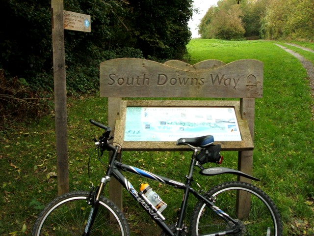
South Downs Way, where a massive climb to
Firle Beacon (705 feet) awaits you, 2 miles from Alfriston. If you bike eastwards (instead of heading towards Firle Beacon) onto the South Downs Way, you will be able to enjoy the view of the famous
Long Man of Wilmington.
As I mentioned earlier due to the lack of time we decided to do a quick loop around Friston Forest where we headed east before turning north towards
Jevington. Then we cycled westwards before crossing into a bridleway that took us into
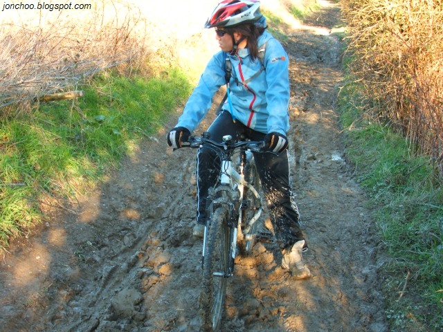
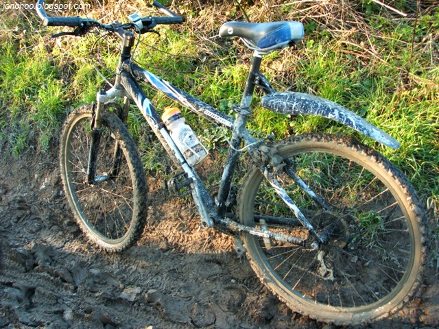
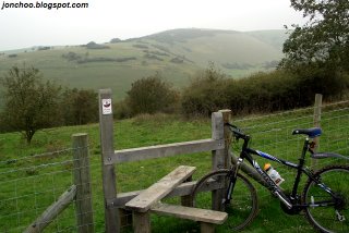
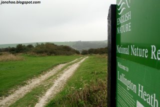
Lullington Heath National Nature Reserve. Due to the lack of an OS map (we really should just get one) we got a little bit lost until we met a couple who pointed us in the right direction (they got lost too earlier!). I also forgot that we had a compass! Friston Forest seems to be a place where getting lost is a little too easy due to the lack of proper markers on the national trail and bridleways, judging from another cyclist we met on the way home. He forgot his OS map and got lost in the forest too.
Anyway we continued west towards the small village of Litlington before cycling south on the same National Cycle Network 2 we took earlier back to Seaford.
What you need:
OS Explorer 123 (Eastbourne and Beachy Head)
There is also a
cycle hire nearby Seven Sisters Country Park.
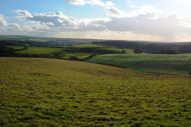
Now for some pictures!
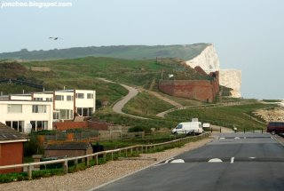
The view of Hawks Brow and Seaford Head from the promenade:
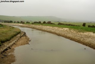
Cuckmere River:
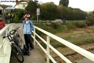
Exceat Bridge:
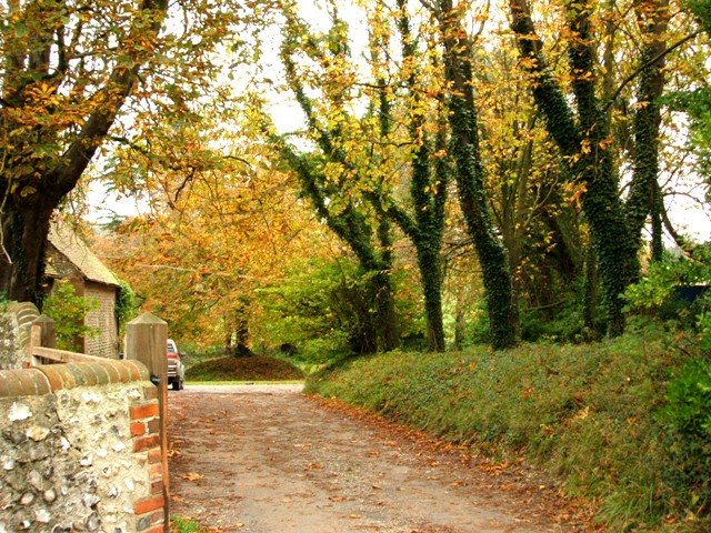
Westdean:

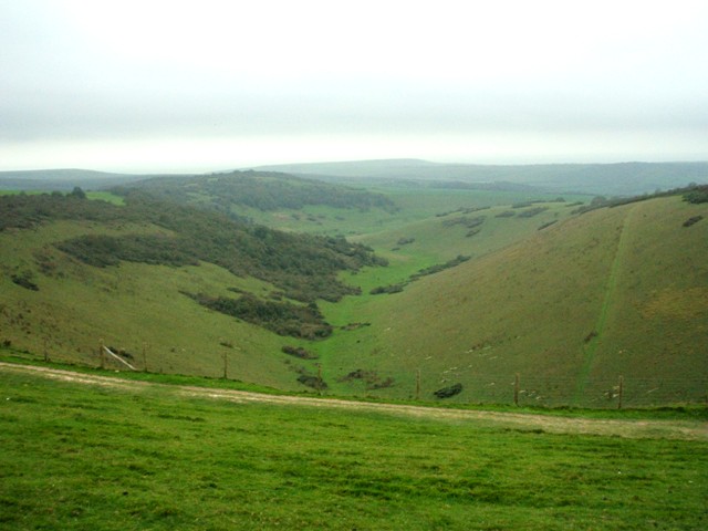
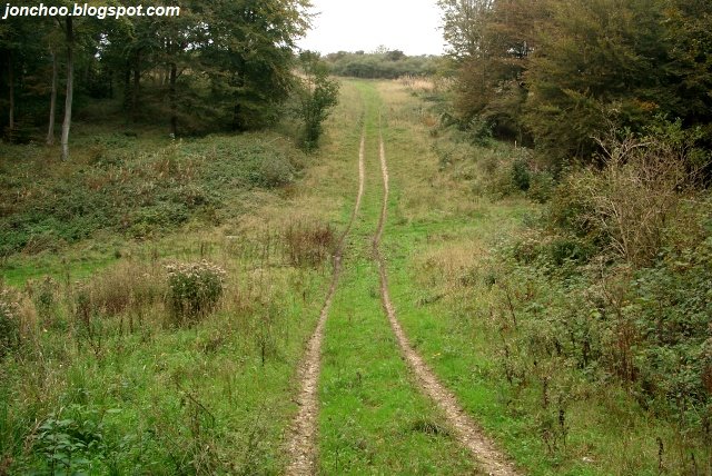
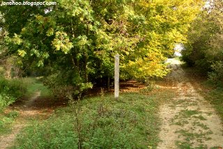
A flat left towards Javington, or a climb right towards Friston? We went right:
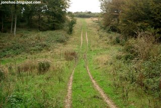
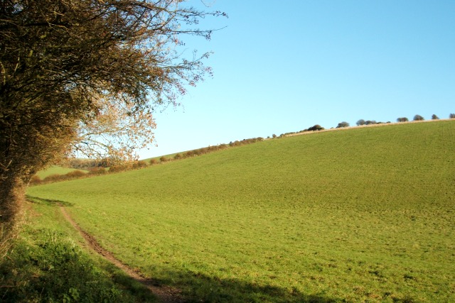
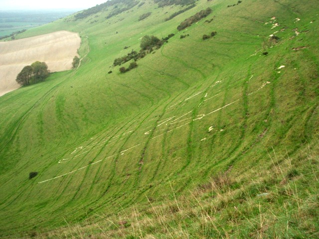
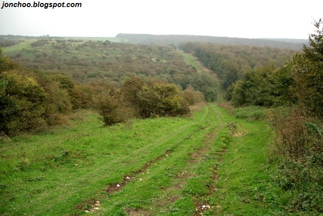
The view downwards after a fucking hard climb:

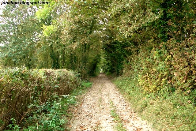
Rocky bridleway into Litlington:

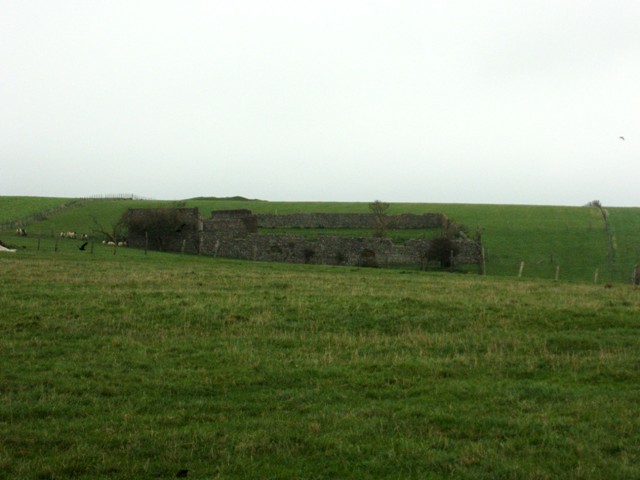
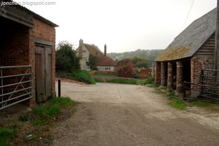
Litlington:
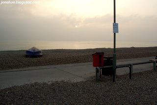
Sun setting over Seaford:
Technorati tags: Seaford Friston Forest MTB XC Bike Ride Cycling Mountain Biking Bike Trail Singletrack South Downs South Downs Way Seven Sisters Exceat Alfriston Friston Long Man East Sussex Beachy Head