
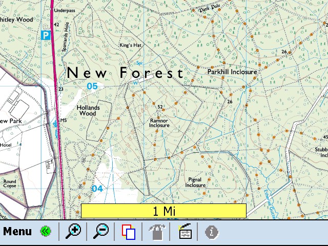
Along with 1:25k Explorer, 1:50k Landranger and 1:250k GB Road Atlas, the application also supports A-Z Street Atlas, IGN French maps (including 1:25k), Philip's Digital European road atlas, USGS DRG topo maps, Maptech marine charts, Civil Aviation Authority VFR charts, etc. Basically it is a do it all GPS software for walkers, cyclists, sailors, drivers, teachers, geologists and pilots. Incredible isn't it?
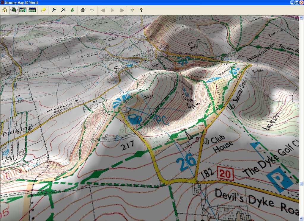
Memory-Map is also capable of rendering a 3D view of maps based on the proprietary QuickChart elevation data on all OS maps and GetMapping aerial photography. It is nifty and a useful feature to those not accustomed to interpretating topographical contour lines. You can toy around with sun light source with the mouse. Tracks can also be logged and viewed as a 3D flyover.
3D view of Devil's Dyke:
Unfortunately the 3D view capability isn't coded into Pocket Nav (the portable version for WinMob). If such a capability is important then consider ViewRanger for Series 60, which I tested on a Nokia N80. It works great, so if you are a fan of Series 60 and the great outdoors then do consider ViewRanger. I shot the Cambridge based developer an e-mail and it seems a Windows Mobile and UIQ version would eventually be released - though not in the near future.
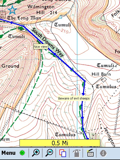
In the mean time, apart from 3D view, Pocket Nav has extensive capabilities including the ability to display maps downloaded from Memory-Map, search & display index, monitor and track progress, support for Navman, Garmin, Magellan, NMEA or SiRF GPS, logging, etc.
Much of what you can do on Memory-Map can be done on Pocket Nav including creating new overlays such as waypoint, text and route. Overlays created on Memory-Map can be exported to be use on Pocket Nav and vice versa. However any modification to the maps are only limited to overlays. Until the 'run by tax-payer's money' OS organisation opens up, there is very little you can do to manipulate map data.
If you don't own a PDA, Memory-Map is also compatible with a vast array of dedicated GPS program, including those tailored for cyclists. Ah, what will we do without technology, us hopeless dependants?!
All screenshots based on maps reproduced from Ordnance Survey 1: 25,000 mapping © Crown copyright. All rights reserved.
Technorati tags: Ordnance Survey Memory Map Windows Mobile Pocket PC
7 comments:
You have a very neat blog. I do not know html much..haha
Thanks for your comment in my Blog
Thank you for your post in my blog
You have a very neat Blog... i do not know much about html..haha
We've used Memory Map for a couple of years now at Scouts and it's great. The only downside is the cost of 1:25,000 maps which we need for walking as opposed to the less detailed 1:50's. If I remember rightly, you can do a fly-over of your route from the 1:25's produced from aerial photography which is also 3d and is great for showing people what you did and where you went! For us the best feature is that we can print out an A3 colour map of the area that we need and it doesn't matter if it get's damaged whilst out as we can just print another next time we need it :)
A very good review Jon :)
Thanks for the S60 viewranger tip! £25 for 1:50,000 National Parks is good value.
I did try the 3D flyover thing, which was awesome (though because I didn't have any Getmapping aerial photography it looked weird). But it is a cool feature and something I would exploit.
I think ViewRanger seems to be a better portable OS program for mobile phones. The feature list is pretty extensive. I hate paper OS maps. When we were at the Downs two weeks ago it was a nightmare to consult our paper map - what with the hailing wind and all.
I had some problem with my computer, but the most bigger problem was that i missed the drivers, so i needed to looking information by internet. Finally i reached an information that advised me download by the web a software driver. this information will help me a lot, very useful. actually i found a site interesting called costa rica investment opportunities i think it is useful too.
Post a Comment